Book Specs
Binding
Trade Paper
Publisher
The McDonald & Woodward Publishing Company
Published on
May 1, 2006
Edition
st Edition
Dimensions
9.50x0.25x10.75 Inches
Weight
0.55 Pounds
About the Book
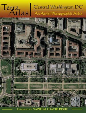
A collection of atlases of high quality aerial photography that features selected venues from the American landscape. Central Washington, DC incorporates an area 5.68 miles north-south and 5.08 miles east-west, or some 28.84 square miles, in Washington, DC, and Arlington County, Virginia. The aerial photography reproduced in this atlas was taken in 2002 by the US Geological Survey. The atlas includes 35 pages of photographs presented at a scale of 1:7000, each titled with the name of a prominent neighborhood or landscape feature located on the page. A grid divides each of these 35 images into 72 cells; each cell measures 0.1 mile on a side and is uniquely identifiable by a letter and number located on the left and bottom side of the grid, respectively. The atlas concludes with nine pages of indexes, of which four pages are devoted to street names and five pages to selected other place names. Place names, other than streets, included in this atlas are representative of categories of places that appear on the images. Generally, the places listed include those of historical, cultural, and natural significance; international, national, state, district, and local government properties; educational institutions; and more prominent hospitals, hotels and motels, and religious sites.
