Philip's World Desk Map
by
ISBN-10: 054009157X
ISBN-13: 9780540091577
$6.21
Book Specs
Binding
Trade Cloth
Publisher
-
Published on
Sep 24, 2007
Edition
st Edition
Dimensions
12.20x0.08x17.91 Inches
Weight
0.15 Pounds
About the Book
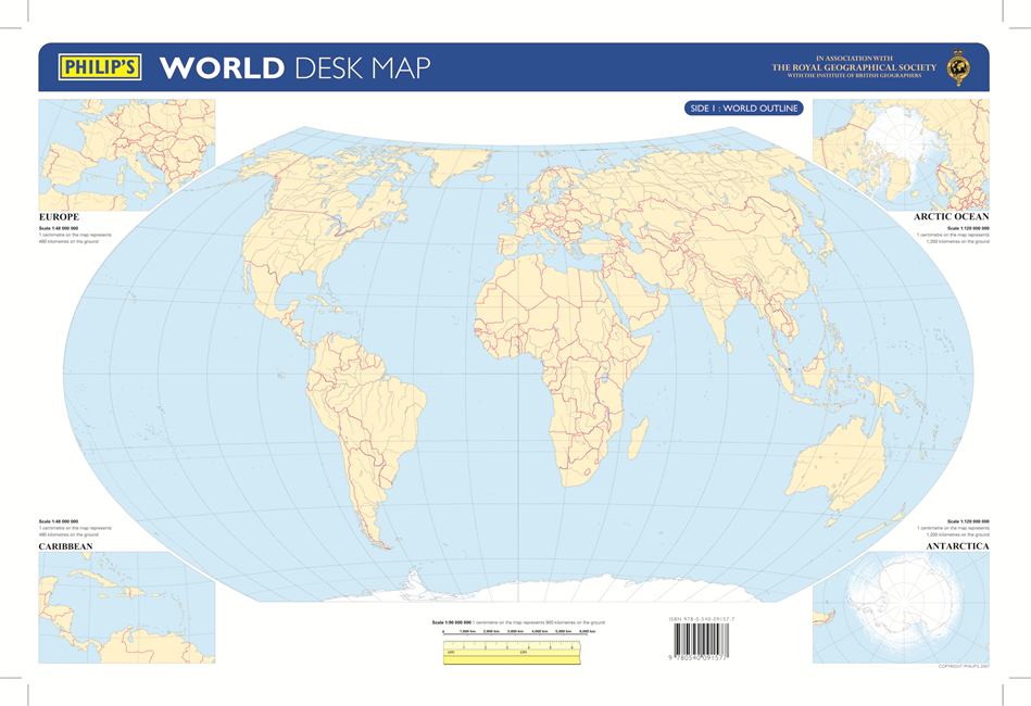
New for 2007, this double-sided desk map has been specially created for use in the classroom or at home. The map is encapsulated, making it both durable and suitable for write-on/wipe-off with water-soluble marker pens or chinagraph crayons by students.Side 1 shows the World in outline at a scale of 1:90 000 000 (1 cm on the map = 900 km on the ground), enabling students to use their knowledge to identify and mark on the map the names of countries and islands, as well as towns and cities, simply by recognizing their shape and location. Larger-scale outline maps are also provided on Side 1 for the crowded regions of Europe and the Caribbean (each at a scale of 1:48 000 000), and there are additional outline maps of the Arctic Ocean and Antarctica (each at a scale of 1:120 000 000).Side 2 provides the same maps in political colours, complete with place names in clear lettering, and symbols for easy reference. Individual countries are picked out in bright distinctive colours to aid identification, with major towns and cities marked, as well as major rivers. Main map projection: Hammer Equal Area.