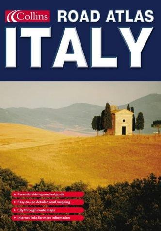
Collins Road Atlas Italy
by
ISBN-10: 0007192908
ISBN-13: 9780007192908
$8.68
Book Specs
Trade Paper
HARPERCOLLINS PUB.
Published on
Oct 4, 2004
Edition
st Edition
Dimensions
0.00x0.00x0.00 Inches
Weight
0.31 Pounds
About the Book
A new road atlas in handy pocket size format.
With road mapping at 1:750 000, information on motoring in Italy and a language guide this atlas is the ideal companion for travelling in Italy.
Scale 1:750 000; 1 cm to 7.5 km; 1 inch to 12 miles
AREA OF COVERAGE
The mapping covers all of Italy from the Alps and Switzerland in the north to Sicily in the south, from Sardinia in the west to the Adriatic in the east.
MAP DETAIL
The clear, up-to-date digitally produced road mapping is easy to follow. Euroroutes and motorways (autostrada), main and secondary roads and selected minor roads are easily distinguished, with road distances being shown in kilometres. Clarity is enhanced by the uncluttered white background.
INCLUDES
An eight page illustrated section with information on driving in Italy, road signs and emergency procedures. In addition there are examples of key phrases that will help in achieving hassle-free motoring. There are also detailed through route maps of Rome, Milan, Naples, Palermo, Turin and Venice and a comprehensive place-name index completes the content.
WHO THE PRODUCT IS AIMED AT
Motorists, for planning a holiday in Italy and for using en route.
OTHER PRODUCTS IN THE SERIES
Road Atlas Spain & Portugal
Road Atlas France
Route Planning Map of France